
Chandler topographic map
Interactive map
Click on the map to display elevation.
About this map
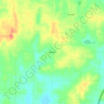
Name: Chandler topographic map, elevation, terrain.
Location: Chandler, Pike County, Indiana, États-Unis d'Amérique (38.40144 -87.37224 38.44144 -87.33224)
Average elevation: 151 m
Minimum elevation: 127 m
Maximum elevation: 181 m