Geolocate

Snärsfall topographic map

Click on the map to display elevation.

About this map

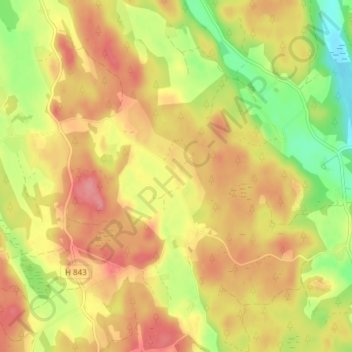
Name: Snärsfall topographic map, elevation, terrain.

Location: Snärsfall, Västerviks kommun, Kalmar County, Sweden (57.84693 16.18155 57.88693 16.22155)

Average elevation: 104 m

Minimum elevation: 53 m

Maximum elevation: 141 m

Gear up for your next adventure:

💧Reusable Water Bottle - Durable water bottles for hydration on trails
🎒Fully Waterproof Backpack - Total protection for photography gear and electronics
🧥Waterproof Pants - Keep dry during rainy hiking conditions
🌬️Windproof Camp Stove - Efficient cooking even on exposed mountain peaks
🧢Outdoor Visor - Breathable visor for sunny hikes

As an Amazon Associate, this site earns from qualifying purchases at no extra cost to you.