Geolocate

Gatcombe topographic map

Click on the map to display elevation.

About this map

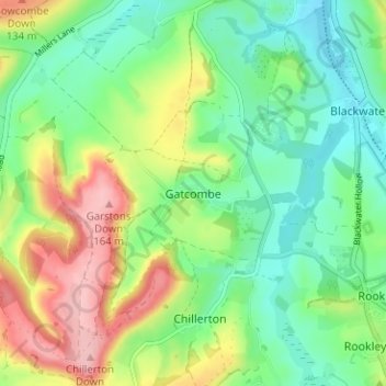
Name: Gatcombe topographic map, elevation, terrain.

Location: Gatcombe, Isle of Wight, England, PO30 3EG, United Kingdom (50.64550 -1.33180 50.68550 -1.29180)

Average elevation: 69 m

Minimum elevation: 14 m

Maximum elevation: 167 m

Gear up for your next adventure:

🥾All-Terrain Hiking Boots - Versatile boots for varied hiking conditions
🧥Thermal Fleece Jacket - Versatile insulation for changing mountain temperatures
🥾Waterproof Trail Shoes - Shoes designed to handle wet terrain
🧦Thermal Socks - Warm socks for winter hiking or camping
🧰Survival Kit - Essential gear for emergencies in the wilderness

As an Amazon Associate, this site earns from qualifying purchases at no extra cost to you.