Geolocate

Dornum topographic map

Click on the map to display elevation.

About this map

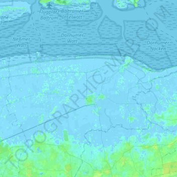
Name: Dornum topographic map, elevation, terrain.

Location: Dornum, Landkreis Aurich, Lower Saxony, 26553, Germany (53.61923 7.31399 53.69312 7.55813)

Average elevation: 1 m

Minimum elevation: -4 m

Maximum elevation: 9 m

Gear up for your next adventure:

🚲Heavy Duty Bike Lock - Secure your bike at the trailhead or during stops
🥾Trail Running Shoes - Lightweight and durable shoes for trail running
🧥Waterproof Jacket - Lightweight rain jackets for hiking and outdoor activities
🦟Insect Repellent - Keep mosquitoes and black flies away in wooded areas
Bushcraft Tarp - Versatile emergency shelter or gear protection

As an Amazon Associate, this site earns from qualifying purchases at no extra cost to you.