Geolocate

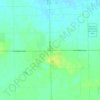
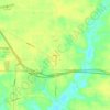
Hudsonville topographic map

Click on the map to display elevation.

About this map
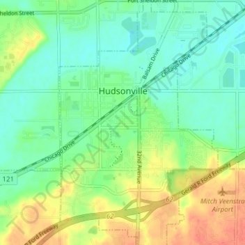
Name: Hudsonville topographic map, elevation, terrain.

Location: Hudsonville, Ottawa County, Michigan, 49426, United States (42.84218 -85.88136 42.88765 -85.84124)

Average elevation: 200 m

Minimum elevation: 182 m

Maximum elevation: 228 m

Other topographic maps

Click on a map to view its topography, its elevation and its terrain.
Borculo

United States > Michigan > Ottawa County > Olive Township

Average elevation: 197 m

Macatawa

United States > Michigan > Ottawa County > Park Township

Average elevation: 181 m

Aman Park

United States > Michigan > Ottawa County > Tallmadge

Average elevation: 207 m

Wright

United States > Michigan > Ottawa County > Wright Township

Average elevation: 265 m

Port Sheldon

United States > Michigan > Ottawa County

Average elevation: 185 m

Grand Valley

United States > Michigan > Ottawa County

Average elevation: 199 m

Gear up for your next adventure:

🥾Hiking Shoes - Durable and comfortable shoes for trail hiking
🚲Bike Repair Kit - Essential tools for on-trail mechanical issues
🧦Outdoor Socks - Durable socks designed for hiking and outdoor sports
🔪Outdoor Multitool - Versatile tool for repairs and food prep in the wild
🧢Outdoor Cap - Protective cap for sun and rain during hikes

As an Amazon Associate, this site earns from qualifying purchases at no extra cost to you.