Geolocate

Karanjia topographic map

Click on the map to display elevation.

About this map

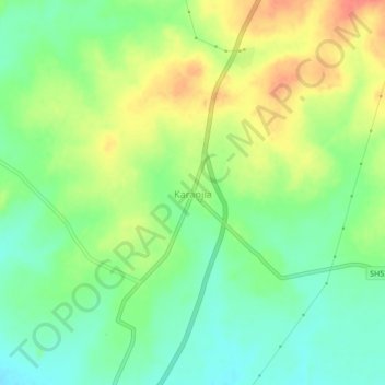
Name: Karanjia topographic map, elevation, terrain.

Location: Karanjia, Mayurbhanj District, Odisha, 757037, India (21.75493 85.96093 21.79493 86.00093)

Average elevation: 392 m

Minimum elevation: 369 m

Maximum elevation: 421 m

Gear up for your next adventure:

🥾All-Terrain Hiking Boots - Versatile boots for varied hiking conditions
🥽Outdoor Goggles - Protective eyewear for outdoor activities
Bushcraft Tarp - Versatile emergency shelter or gear protection
💡LED Headlamp - Hands-free illumination for night hiking and camping
💧Filtered Water Bottle - Safe drinking water on the go

As an Amazon Associate, this site earns from qualifying purchases at no extra cost to you.