Geolocate

Tacconotti topographic map

Click on the map to display elevation.

About this map
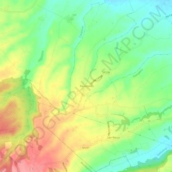
Name: Tacconotti topographic map, elevation, terrain.

Location: Tacconotti, Frascaro, Alessandria, Piemonte, Italia (44.78568 8.47885 44.82568 8.51885)

Average elevation: 159 m

Minimum elevation: 118 m

Maximum elevation: 209 m

Gear up for your next adventure:

🏃Hydration Running Vest - Carry water and maps close to your body for speed
🧰Emergency Multi-Tool - Compact multi-tool for outdoor survival
🥾Waterproof Hiking Boots - Essential footwear for rugged terrain and wet Canadian trails
🧴First Aid Kit - Essential first aid supplies for outdoor emergencies
🛶Waterproof Dry Bags - Keep electronics and clothes dry during river crossings

As an Amazon Associate, this site earns from qualifying purchases at no extra cost to you.