Geolocate

Suga topographic map

Click on the map to display elevation.

About this map

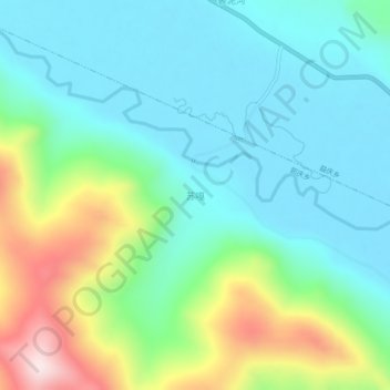
Name: Suga topographic map, elevation, terrain.

Location: Suga, Chamdo City, Tibet, China (30.65992 96.94853 30.69992 96.98853)

Average elevation: 4,457 m

Minimum elevation: 4,335 m

Maximum elevation: 4,790 m

Gear up for your next adventure:

🥾Hiking Shorts - Breathable shorts suitable for summer hikes
🔦LED Headlamp - Hands-free lighting for early morning starts or late finishes
🐕Hiking Dog Pack - Let your canine companion carry their own water and food
🕶️Polarized Sunglasses - Reduces glare from snow and water at high elevations
💧Collapsible Water Bottle - Space-saving water bottle for outdoor activities

As an Amazon Associate, this site earns from qualifying purchases at no extra cost to you.