Geolocate

Bela topographic map

Click on the map to display elevation.

About this map

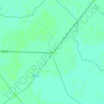
Name: Bela topographic map, elevation, terrain.

Location: Bela, Bidhuna, Auraiya District, Uttar Pradesh, India (26.80843 79.65367 26.84843 79.69367)

Average elevation: 141 m

Minimum elevation: 137 m

Maximum elevation: 143 m

Other topographic maps

Click on a map to view its topography, its elevation and its terrain.

Bidhuna

India > Uttar Pradesh > Bidhuna

Average elevation: 143 m

Gear up for your next adventure:

🧢Sun Protection Cap - Breathable cap to protect from sun exposure
🧦Thermal Socks - Warm socks for winter hiking or camping
🛌Insulated Sleeping Pad - Critical thermal barrier between you and the cold ground
💧Hydration Pack - Hands-free hydration system for long hikes
🕯️Camping Lantern - Illuminates your entire campsite with high-efficiency LEDs

As an Amazon Associate, this site earns from qualifying purchases at no extra cost to you.