Geolocate

Monkton topographic map

Click on the map to display elevation.

About this map

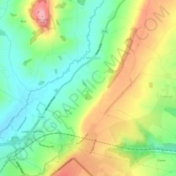
Name: Monkton topographic map, elevation, terrain.

Location: Monkton, East Devon, Devon, England, United Kingdom (50.79744 -3.17190 50.83341 -3.13478)

Average elevation: 160 m

Minimum elevation: 88 m

Maximum elevation: 266 m

Gear up for your next adventure:

🧣Merino Neck Gaiter - Protects against wind, sun, and cold at high altitudes
🔋Solar Power Bank - Keep your GPS and devices charged during long outdoor trips
💡LED Headlamp - Hands-free illumination for night hiking and camping
🔨Vehicle Emergency Tool - Safety tool for remote road trips to trailheads
🦶Anti-Blister Balm - Prevents friction and hotspots during long ascents

As an Amazon Associate, this site earns from qualifying purchases at no extra cost to you.