Geolocate

Kepahyang topographic map

Click on the map to display elevation.

About this map

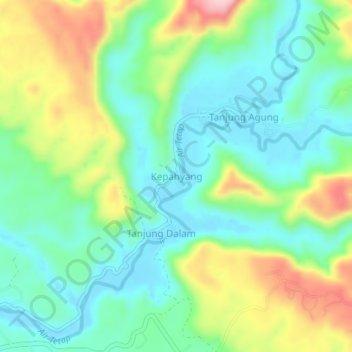
Name: Kepahyang topographic map, elevation, terrain.

Location: Kepahyang, Kaur, Bengkulu, Sumatra, Indonesia (-4.75804 103.32682 -4.71804 103.36682)

Average elevation: 75 m

Minimum elevation: 6 m

Maximum elevation: 216 m

Gear up for your next adventure:

🎒Hiking Daypack - Lightweight and durable backpacks for day trips and excursions
💧Filtered Water Bottle - Safe drinking water on the go
🧥Thermal Layer - Insulating layer for cold outdoor conditions
🥾Trail Running Boots - Durable shoes designed for trail running
🧼Biodegradable Camp Soap - Environmentally friendly cleaning for gear and body

As an Amazon Associate, this site earns from qualifying purchases at no extra cost to you.