Geolocate

Lilibangan topographic map

Click on the map to display elevation.

About this map

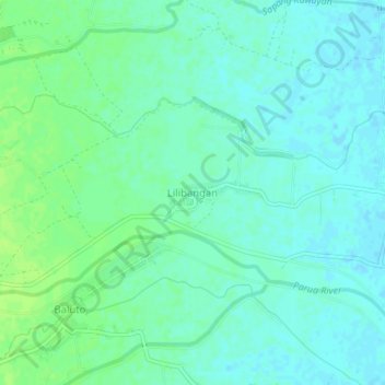
Name: Lilibangan topographic map, elevation, terrain.

Location: Lilibangan, Concepcion, Tarlac, Central Luzon, Philippines (15.29375 120.68685 15.33375 120.72685)

Average elevation: 22 m

Minimum elevation: 17 m

Maximum elevation: 29 m

Other topographic maps

Click on a map to view its topography, its elevation and its terrain.

Parua River

Philippines > Tarlac > Concepcion

Average elevation: 43 m

Gear up for your next adventure:

🛁Quick-Dry Microfiber Towel - Space-saving towel that dries rapidly on the move
🧭GPS Handheld Device - Reliable GPS navigation for outdoor adventures
🧥Insulated Jacket - Keep warm in cold outdoor conditions
🚲MTB Frame Bag - Carry tools and maps directly on your bicycle frame
💡Portable Camping Lamp - Rechargeable lamp for campsite lighting

As an Amazon Associate, this site earns from qualifying purchases at no extra cost to you.