
Les Tournis topographic map
Interactive map
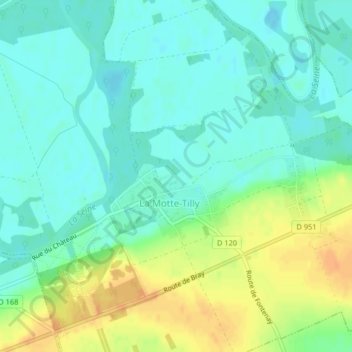
Click on the map to display elevation.
About this map
Name: Les Tournis topographic map, elevation, terrain.
Average elevation: 67 m
Minimum elevation: 55 m
Maximum elevation: 89 m
Other topographic maps
Click on a map to view its topography, its elevation and its terrain.
Château de la Motte-Tilly
France > Grand Est > Aube > La Motte-Tilly
Château de la Motte-Tilly, D 951, La Motte-Tilly, Nogent-sur-Seine, Aube, Grand Est, France métropolitaine, 10400, France
Average elevation: 69 m