Geolocate

Eschefeld topographic map

Click on the map to display elevation.

About this map

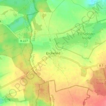
Name: Eschefeld topographic map, elevation, terrain.

Location: Eschefeld, Frohburg, Landkreis Leipzig, Sachsen, Deutschland (51.01748 12.49757 51.05748 12.53757)

Average elevation: 187 m

Minimum elevation: 157 m

Maximum elevation: 213 m

Other topographic maps

Click on a map to view its topography, its elevation and its terrain.

Gear up for your next adventure:

💧Filtered Water Bottle - Safe drinking water on the go
👟Trail Running Shoes - Agile footwear for fast-paced topographic exploration
🚲Bike Repair Kit - Essential tools for on-trail mechanical issues
🥾Lightweight Hiking Shoes - Comfortable shoes for day hikes
🧣Evaporative Cooling Towel - Beat the heat during intense summer climbs

As an Amazon Associate, this site earns from qualifying purchases at no extra cost to you.