Geolocate

Sillustani topographic map

Click on the map to display elevation.

About this map

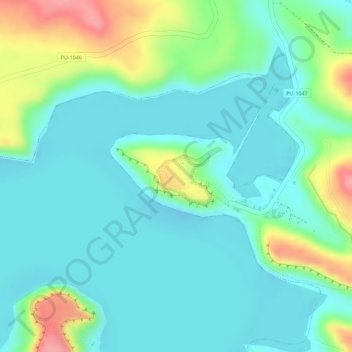
Name: Sillustani topographic map, elevation, terrain.

Location: Sillustani, PU-1047, Atuncolla, Puno, Perú (-15.72379 -70.16056 -15.71945 -70.15539)

Average elevation: 3,858 m

Minimum elevation: 3,828 m

Maximum elevation: 3,932 m

Gear up for your next adventure:

🧴Bear Spray Holster - Quick-access carry for essential Canadian wilderness safety
🥾Mountaineering Boots - Supportive boots for climbing and high-altitude hiking
🥾Trail Running Boots - Durable shoes designed for trail running
🛶Waterproof Dry Bags - Keep electronics and clothes dry during river crossings
🧭GPS Tracker - Track your location in remote areas safely

As an Amazon Associate, this site earns from qualifying purchases at no extra cost to you.