Geolocate

Armutalan topographic map

Click on the map to display elevation.

About this map

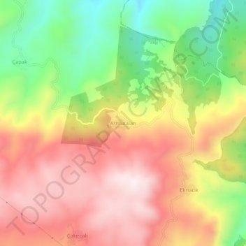
Name: Armutalan topographic map, elevation, terrain.

Location: Armutalan, Zile, Tokat, Black Sea Region, Turkey (40.18117 36.02567 40.22117 36.06567)

Average elevation: 1,117 m

Minimum elevation: 800 m

Maximum elevation: 1,393 m

Gear up for your next adventure:

🚲Handlebar Phone Mount - View topographic-map.com live while cycling
🔨Vehicle Emergency Tool - Safety tool for remote road trips to trailheads
🧥Insulated Jacket - Keep warm in cold outdoor conditions
🏕️Camping Hammock - Integrated protection for sleeping between trees
🥾Trail Hiking Shoes - Durable shoes designed for rugged trails

As an Amazon Associate, this site earns from qualifying purchases at no extra cost to you.