Geolocate

Wilere topographic map

Click on the map to display elevation.

About this map

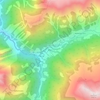
Name: Wilere topographic map, elevation, terrain.

Location: Wilere, Schmidighischere, Binn, Goms, Wallis, 3996, Switzerland (46.34252 8.16129 46.38252 8.20129)

Average elevation: 1,813 m

Minimum elevation: 1,219 m

Maximum elevation: 2,551 m

Gear up for your next adventure:

🧴Insect Repellent - Protect yourself from bugs during outdoor adventures
🧶550 Survival Paracord - Versatile utility cord for emergency repairs and rigging
🏕️Camping Hammock - Integrated protection for sleeping between trees
🥽Outdoor Goggles - Protective eyewear for outdoor activities
🧭Orienteering Kit - Tools for map reading and navigation in the wild

As an Amazon Associate, this site earns from qualifying purchases at no extra cost to you.