
Rosiere topographic map
Interactive map
Click on the map to display elevation.
About this map
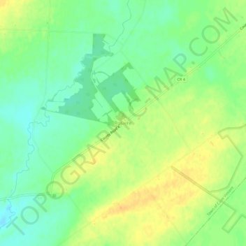
Name: Rosiere topographic map, elevation, terrain.
Location: Rosiere, Jefferson County, New York, États-Unis d'Amérique (44.10144 -76.26160 44.14144 -76.22160)
Average elevation: 92 m
Minimum elevation: 77 m
Maximum elevation: 106 m