Geolocate

Anhalt topographic map

Click on the map to display elevation.

About this map

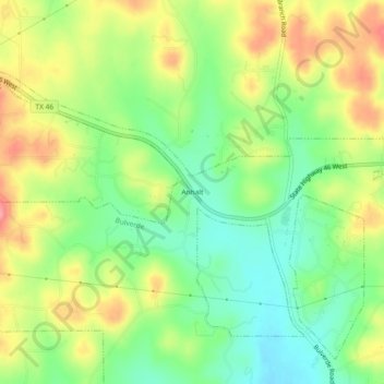
Name: Anhalt topographic map, elevation, terrain.

Location: Anhalt, Bulverde, Comal County, Texas, United States (29.77411 -98.49557 29.81411 -98.45557)

Average elevation: 397 m

Minimum elevation: 353 m

Maximum elevation: 453 m

Gear up for your next adventure:

👟Trail Running Shoes - Agile footwear for fast-paced topographic exploration
💧Hydration Bladder - Hands-free hydration solution for long treks
🥾Trekking Boots - Durable boots for long-distance trekking
🔥Emergency Fire Starter - Reliable ignition source for all weather conditions
🧳Compression Sacks - Maximize space in your backpack by shrinking gear

As an Amazon Associate, this site earns from qualifying purchases at no extra cost to you.