
Thank you for supporting this site ❤️
Make a donation
Make a donation
Gear up for your next adventure:
As an Amazon Associate, this site earns from qualifying purchases at no extra cost to you.
Bellemont topographic map
Click on the map to display elevation.
Thank you for supporting this site ❤️
Make a donation
Make a donation
Gear up for your next adventure:
As an Amazon Associate, this site earns from qualifying purchases at no extra cost to you.
About this map
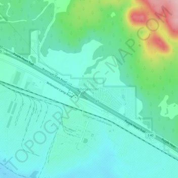
Name: Bellemont topographic map, elevation, terrain.
Location: Bellemont, Coconino County, Arizona, 86051, United States (35.21807 -111.85350 35.25807 -111.81350)
Average elevation: 2,184 m
Minimum elevation: 2,148 m
Maximum elevation: 2,305 m
Thank you for supporting this site ❤️
Make a donation
Make a donation
Gear up for your next adventure:
As an Amazon Associate, this site earns from qualifying purchases at no extra cost to you.