Geolocate

Kamandoddi topographic map

Click on the map to display elevation.

About this map

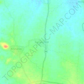
Name: Kamandoddi topographic map, elevation, terrain.

Location: Kamandoddi, Kosigi, Kurnool, Andhra Pradesh, India (15.88228 77.15127 15.92228 77.19127)

Average elevation: 355 m

Minimum elevation: 342 m

Maximum elevation: 385 m

Gear up for your next adventure:

🧼Biodegradable Camp Soap - Environmentally friendly cleaning for gear and body
🛁Quick-Dry Microfiber Towel - Space-saving towel that dries rapidly on the move
🕯️Camping Lantern - Illuminates your entire campsite with high-efficiency LEDs
Backpacking Tent - Lightweight tent for long-distance hiking trips
🩹Moleskin Blister Pads - Direct protection for painful foot pressure points

As an Amazon Associate, this site earns from qualifying purchases at no extra cost to you.