
Kandiyohi topographic map
Interactive map
Click on the map to display elevation.
About this map
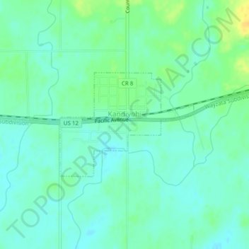
Name: Kandiyohi topographic map, elevation, terrain.
Location: Kandiyohi, Kandiyohi County, Minnesota, United States (45.12536 -94.94106 45.13664 -94.92051)
Average elevation: 374 m
Minimum elevation: 365 m
Maximum elevation: 391 m