

Demmin topographic map
Click on the map to display elevation.
Demmin
Bei der letzten freien Reichstagswahl März 1933 waren die Stimmanteile für die Nationalsozialistische Deutsche Arbeiterpartei (NSDAP) in Demmin höher als im Rest des Landes. Die NSDAP errang in der Stadt Demmin 53,7 % (4429 Stimmen). Bei den Kommunalwahlen am 12. März 1933 waren es 49,2 %. Die Synagoge wurde im Juni 1938 an eine Möbelfirma verkauft. Nur deshalb blieb das Gebäude bis heute erhalten. Am 11. November 1938 versammelten sich Tausende auf dem Marktplatz zu einer antisemitischen Kundgebung.
About this map
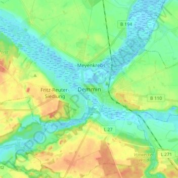
Name: Demmin topographic map, elevation, terrain.
Average elevation: 13 m
Minimum elevation: -4 m
Maximum elevation: 35 m