Geolocate

Pomeroy topographic map

Click on the map to display elevation.

About this map

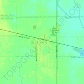
Name: Pomeroy topographic map, elevation, terrain.

Location: Pomeroy, Calhoun County, Iowa, 50575, United States (42.54194 -94.69741 42.55968 -94.65798)

Average elevation: 375 m

Minimum elevation: 367 m

Maximum elevation: 382 m

Other topographic maps

Click on a map to view its topography, its elevation and its terrain.

Rands

United States > Iowa > Calhoun County

Average elevation: 358 m

Gear up for your next adventure:

🧥Ultralight Puffy Jacket - Maximum warmth that packs down to the size of an orange
🌡️Emergency Mylar Blankets - Compact thermal protection for unexpected nights outdoors
🥾Hiking Boots - Sturdy boots providing ankle support and traction on rugged trails
🥾Light Hiking Boots - Lightweight and comfortable boots for day hikes
💡Portable Camping Lamp - Rechargeable lamp for campsite lighting

As an Amazon Associate, this site earns from qualifying purchases at no extra cost to you.