
Make a donation
Gear up for your next adventure:
As an Amazon Associate, this site earns from qualifying purchases at no extra cost to you.
Squaw Mountain topographic map
Click on the map to display elevation.
Make a donation
Gear up for your next adventure:
As an Amazon Associate, this site earns from qualifying purchases at no extra cost to you.
About this map
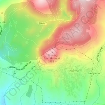
Name: Squaw Mountain topographic map, elevation, terrain.
Average elevation: 2,977 m
Minimum elevation: 2,797 m
Maximum elevation: 3,174 m
Make a donation
Gear up for your next adventure:
As an Amazon Associate, this site earns from qualifying purchases at no extra cost to you.
Other topographic maps
Click on a map to view its topography, its elevation and its terrain.
Victor
United States > Colorado > Teller County
In 2022, youtubers The Baseball Bat Bros attempted to break the Guinness World Record for Longest home run hit, set by Babe Ruth in 1921 with a verified measurement of 575 feet. The attempt was made at The Gold Bowl baseball and soccer field. Victor, having one of the highest elevations in the United States…
Average elevation: 2,974 m