
Ñacunday topographic map
Interactive map
Click on the map to display elevation.
About this map
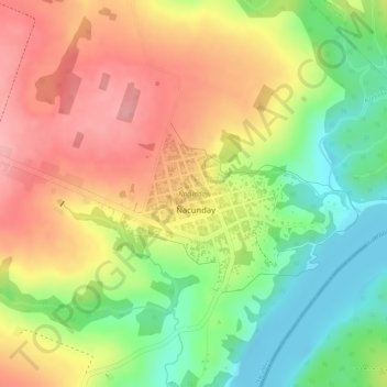
Name: Ñacunday topographic map, elevation, terrain.
Location: Ñacunday, Alto Paraná, Región Oriental, Paraguay (-25.98258 -54.68795 -25.97489 -54.67820)
Average elevation: 164 m
Minimum elevation: 93 m
Maximum elevation: 225 m