Geolocate

Jett topographic map

Click on the map to display elevation.

About this map

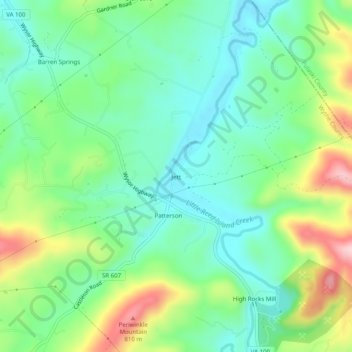
Name: Jett topographic map, elevation, terrain.

Location: Jett, Wythe County, Virginia, 24313, United States (36.87512 -80.80396 36.91512 -80.76396)

Average elevation: 664 m

Minimum elevation: 584 m

Maximum elevation: 835 m

Gear up for your next adventure:

🧦Merino Wool Socks - Moisture-wicking comfort for long-distance hiking
📷Outdoor Action Camera - Capture high-elevation views and rugged adventures
🥾Mountain Trail Shoes - High-traction shoes for mountain trails
🧶550 Survival Paracord - Versatile utility cord for emergency repairs and rigging
🧥Softshell Jacket - Windproof and breathable jacket for hiking

As an Amazon Associate, this site earns from qualifying purchases at no extra cost to you.