
Water Valley topographic map
Click on the map to display elevation.
About this map
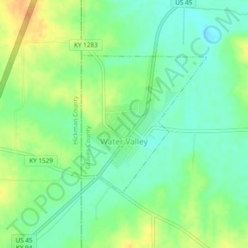
Name: Water Valley topographic map, elevation, terrain.
Location: Water Valley, Graves County, Kentucky, 42085, United States (36.55992 -88.81694 36.57499 -88.79990)
Average elevation: 122 m
Minimum elevation: 107 m
Maximum elevation: 141 m
Other topographic maps
Click on a map to view its topography, its elevation and its terrain.