Geolocate

Santa Lucía topographic map

Click on the map to display elevation.

About this map

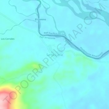
Name: Santa Lucía topographic map, elevation, terrain.

Location: Santa Lucía, Puerto Guzmán, Putumayo, RAP Amazonía, Colombia (0.94153 -76.45999 0.98153 -76.41999)

Average elevation: 289 m

Minimum elevation: 264 m

Maximum elevation: 474 m

Gear up for your next adventure:

🕶️Polarized Sunglasses - Reduces glare from snow and water at high elevations
🚲Handlebar Phone Mount - View topographic-map.com live while cycling
🥾Waterproof Hiking Boots - Boots keeping your feet dry in wet conditions
🥾Trail Hiking Shoes - Durable shoes designed for rugged trails
🧥Insulated Jacket - Keep warm in cold outdoor conditions

As an Amazon Associate, this site earns from qualifying purchases at no extra cost to you.