
Estrans Daniel topographic map
Interactive map
Click on the map to display elevation.
About this map
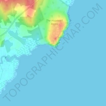
Name: Estrans Daniel topographic map, elevation, terrain.
Average elevation: 8 m
Minimum elevation: 0 m
Maximum elevation: 61 m
Other topographic maps
Click on a map to view its topography, its elevation and its terrain.
Parc national Fundy
Canada > Nouveau-Brunswick > Comté d'Albert > Fundy National Park
Parc national Fundy, Fundy National Park, Alma Parish, Comté d'Albert, Nouveau-Brunswick, Canada
Average elevation: 230 m