Geolocate

Michaels Woods topographic map

Click on the map to display elevation.

About this map

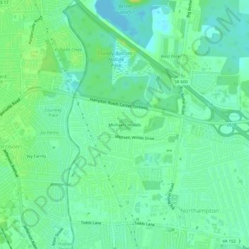
Name: Michaels Woods topographic map, elevation, terrain.

Location: Michaels Woods, Hampton, Virginia, 23601, United States (37.03893 -76.45890 37.07893 -76.41890)

Average elevation: 8 m

Minimum elevation: -4 m

Maximum elevation: 20 m

Gear up for your next adventure:

🥾Hiking Gaiters - Protect legs and shoes from mud, snow, and debris
🚲Bike Repair Kit - Essential tools for on-trail mechanical issues
🥽Outdoor Goggles - Protective eyewear for outdoor activities
🔨Vehicle Emergency Tool - Safety tool for remote road trips to trailheads
💡Solar Camping Lamp - Eco-friendly lighting for campsites

As an Amazon Associate, this site earns from qualifying purchases at no extra cost to you.