
Rayne Township topographic map
Click on the map to display elevation.
About this map
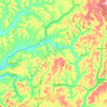
Name: Rayne Township topographic map, elevation, terrain.
Average elevation: 413 m
Minimum elevation: 313 m
Maximum elevation: 555 m
Other topographic maps
Click on a map to view its topography, its elevation and its terrain.
Dilltown
United States > Pennsylvania > Indiana County > East Wheatfield Township
Average elevation: 474 m
Robinson
United States > Pennsylvania > Indiana County > West Wheatfield Township
Average elevation: 397 m