
Thank you for supporting this site ❤️
Make a donation
Make a donation
Gear up for your next adventure:
As an Amazon Associate, this site earns from qualifying purchases at no extra cost to you.
Rioseco topographic map
Click on the map to display elevation.
Thank you for supporting this site ❤️
Make a donation
Make a donation
Gear up for your next adventure:
As an Amazon Associate, this site earns from qualifying purchases at no extra cost to you.
About this map
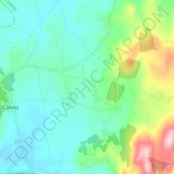
Name: Rioseco topographic map, elevation, terrain.
Location: Rioseco, Calvos de Randín, A Limia, Ourense, Galicien, Spanien (41.92685 -7.89077 41.97253 -7.84646)
Average elevation: 931 m
Minimum elevation: 852 m
Maximum elevation: 1,171 m
Thank you for supporting this site ❤️
Make a donation
Make a donation
Gear up for your next adventure:
As an Amazon Associate, this site earns from qualifying purchases at no extra cost to you.