Geolocate

Rantepao topographic map

Click on the map to display elevation.

About this map
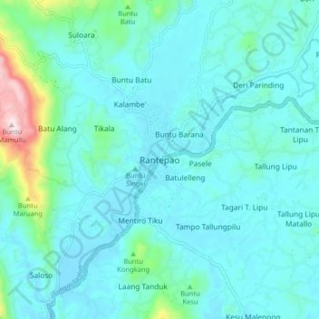
Name: Rantepao topographic map, elevation, terrain.

Location: Rantepao, Toraja Utara, South Sulawesi, 91833, Indonesia (-3.01046 119.85872 -2.93046 119.93872)

Average elevation: 848 m

Minimum elevation: 768 m

Maximum elevation: 1,363 m

Gear up for your next adventure:

🥾Mountain Hiking Boots - High-traction boots for rocky terrain
🧭GPS Outdoor Watch - Smart watch for navigation and fitness tracking in nature
🧣Merino Neck Gaiter - Protects against wind, sun, and cold at high altitudes
🌬️Windproof Camp Stove - Efficient cooking even on exposed mountain peaks
🏕️Camping Hammock - Integrated protection for sleeping between trees

As an Amazon Associate, this site earns from qualifying purchases at no extra cost to you.