Geolocate

Mount Merbabu topographic map

Click on the map to display elevation.

About this map
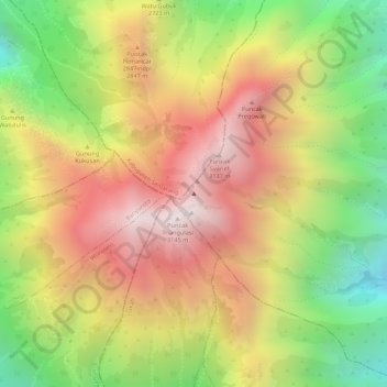
Name: Mount Merbabu topographic map, elevation, terrain.

Location: Mount Merbabu, Selo, Boyolali, Central Java, Indonesia (-7.45429 110.43964 -7.45419 110.43974)

Average elevation: 2,696 m

Minimum elevation: 2,195 m

Maximum elevation: 3,123 m

Gear up for your next adventure:

🛰️Satellite Messenger - Emergency communication for areas with no cell service
⛺Camping Tent - Weather-resistant tents suitable for 2 to 6 people
🧣Evaporative Cooling Towel - Beat the heat during intense summer climbs
⛺Tent Footprint - Protect tent floor and increase durability
🧥Fleece Jacket - Warm and lightweight jacket for layering

As an Amazon Associate, this site earns from qualifying purchases at no extra cost to you.