Geolocate

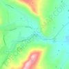
Pueblo topographic map

Click on the map to display elevation.

About this map
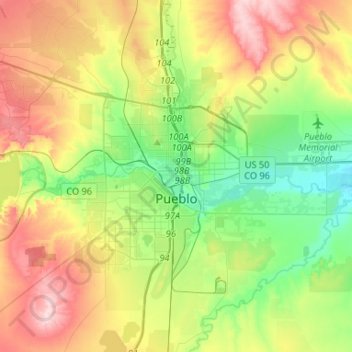
Name: Pueblo topographic map, elevation, terrain.

Location: Pueblo, Pueblo County, Colorado, United States (38.18911 -104.72227 38.34537 -104.46004)

Average elevation: 1,488 m

Minimum elevation: 1,394 m

Maximum elevation: 1,629 m

Other topographic maps

Click on a map to view its topography, its elevation and its terrain.

Taylor Park

United States > Colorado > Pueblo County

Average elevation: 1,846 m

Beulah Valley

United States > Colorado > Pueblo County > Beulah

Average elevation: 1,962 m

Beulah

United States > Colorado > Pueblo County

Average elevation: 2,013 m

Pueblo West

United States > Colorado > Pueblo County

Average elevation: 1,543 m

Fearnowville

United States > Colorado > Pueblo County > Pueblo

Average elevation: 1,432 m

Beulah

United States > Colorado > Pueblo County

Average elevation: 2,013 m

Eden

United States > Colorado > Pueblo County > Pueblo

Average elevation: 1,472 m

Rye

United States > Colorado > Pueblo County

Rye has a subtropical highland climate (Köppen Cfb), a climate type usually associated with maritime regions, but is also found in high elevation areas in which summer temperatures are moderated by altitude. Precipitation exceeds that of semi-arid places, and average winter temperatures exceed freezing (O°C,…

Average elevation: 2,090 m

Gear up for your next adventure:

🧴Insect Repellent - Protect yourself from bugs during outdoor adventures
🔭Outdoor Binoculars - Lightweight binoculars for birdwatching and hiking
🧢Hiking Hat - Sun-protective and breathable hats for long treks
🔋Emergency Crank Radio - Weather alerts and power without needing batteries
🥾Hiking Boots - Sturdy boots providing ankle support and traction on rugged trails

As an Amazon Associate, this site earns from qualifying purchases at no extra cost to you.