Geolocate

Aplared topographic map

Click on the map to display elevation.

About this map

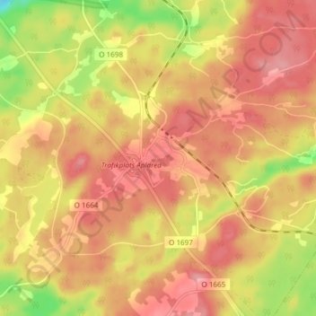
Name: Aplared topographic map, elevation, terrain.

Location: Aplared, Borås, Borås kommun, Västra Götalands län, Sverige (57.63013 13.04795 57.67013 13.08795)

Average elevation: 211 m

Minimum elevation: 146 m

Maximum elevation: 246 m

Gear up for your next adventure:

🥾Hiking Boots - Sturdy boots providing ankle support and traction on rugged trails
🦶Anti-Blister Balm - Prevents friction and hotspots during long ascents
🧢Beanie Hat - Keep your head warm in cold weather
🧥Packable Rain Jacket - Breathable waterproof layer for unpredictable weather
🧢Hiking Hat - Sun-protective and breathable hats for long treks

As an Amazon Associate, this site earns from qualifying purchases at no extra cost to you.