Geolocate

Villiers topographic map

Click on the map to display elevation.

About this map
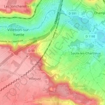
Name: Villiers topographic map, elevation, terrain.

Location: Villiers, Villebon-sur-Yvette, Palaiseau, Essonne, Île-de-France, France métropolitaine, 91140, France (48.67221 2.22714 48.71221 2.26714)

Average elevation: 103 m

Minimum elevation: 41 m

Maximum elevation: 165 m

Other topographic maps

Click on a map to view its topography, its elevation and its terrain.

91140

France > Île-de-France > Essonne > Villebon-sur-Yvette

Average elevation: 123 m

Gear up for your next adventure:

🛏️Sleeping Bag - Warm and compact sleeping bags for outdoor camping
🥾Waterproof Hiking Shoes - Durable shoes for wet and rugged trails
🧊Insulated Water Bottle - Keeps drinks cold in summer and prevents freezing in winter
🧢Outdoor Visor - Breathable visor for sunny hikes
🛁Quick-Dry Microfiber Towel - Space-saving towel that dries rapidly on the move

As an Amazon Associate, this site earns from qualifying purchases at no extra cost to you.