
Erick topographic map
Click on the map to display elevation.
About this map
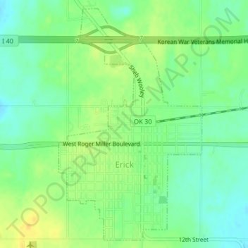
Name: Erick topographic map, elevation, terrain.
Location: Erick, Beckham County, Oklahoma, 73645, United States (35.20448 -99.87781 35.22968 -99.85873)
Average elevation: 631 m
Minimum elevation: 620 m
Maximum elevation: 643 m