
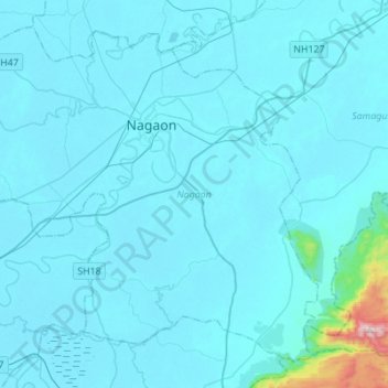
Nagaon topographic map
Interactive map
Click on the map to display elevation.
About this map
Name: Nagaon topographic map, elevation, terrain.
Location: Nagaon, Assam, India (26.19742 92.52885 26.41044 92.80400)
Average elevation: 90 m
Minimum elevation: 55 m
Maximum elevation: 846 m