
Emerald Bay topographic map
Click on the map to display elevation.
About this map
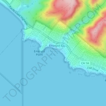
Name: Emerald Bay topographic map, elevation, terrain.
Average elevation: 37 m
Minimum elevation: -1 m
Maximum elevation: 219 m
Other topographic maps
Click on a map to view its topography, its elevation and its terrain.
Thousand Steps Beach
United States > California > Orange County > Laguna Beach > South Laguna
Average elevation: 63 m
Thousand Steps Beach
United States > California > Orange County > Laguna Beach > South Laguna
Average elevation: 63 m