
Belén topographic map
Click on the map to display elevation.
About this map
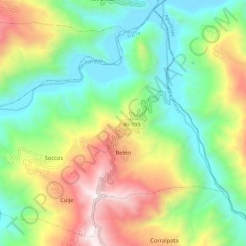
Name: Belén topographic map, elevation, terrain.
Location: Belén, Provincia de Sucre, Ayacucho, Perú (-13.83555 -73.80471 -13.76337 -73.72426)
Average elevation: 2,720 m
Minimum elevation: 2,130 m
Maximum elevation: 3,742 m