
Salgare topographic map
Interactive map
Click on the map to display elevation.
About this map
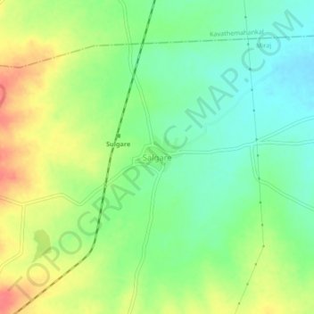
Name: Salgare topographic map, elevation, terrain.
Location: Salgare, Miraj, Sangli district, Maharashtra, Inde (16.87026 74.88908 16.91026 74.92908)
Average elevation: 625 m
Minimum elevation: 600 m
Maximum elevation: 659 m