
Make a donation
Gear up for your next adventure:
As an Amazon Associate, this site earns from qualifying purchases at no extra cost to you.
Col de Boeufs topographic map
Click on the map to display elevation.
Make a donation
Gear up for your next adventure:
As an Amazon Associate, this site earns from qualifying purchases at no extra cost to you.
About this map
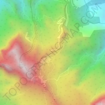
Name: Col de Boeufs topographic map, elevation, terrain.
Average elevation: 1,682 m
Minimum elevation: 1,123 m
Maximum elevation: 2,233 m
Make a donation
Gear up for your next adventure:
As an Amazon Associate, this site earns from qualifying purchases at no extra cost to you.
Other topographic maps
Click on a map to view its topography, its elevation and its terrain.
Cirque de Mafate
France > La Réunion > La Possession
S'étageant entre 250 m à la confluence de Deux-Bras et 3 019 m au sommet du Gros Morne, le cirque de Mafate présente toute la variation des habitats avec l'altitude.
Average elevation: 1,423 m
Cirque de Mafate
France > La Réunion > La Possession
S'étageant entre 250 m à la confluence de Deux-Bras et 3 019 m au sommet du Gros Morne, le cirque de Mafate présente toute la variation des habitats avec l'altitude.
Average elevation: 1,423 m