Geolocate

Cochapampa topographic map

Click on the map to display elevation.

About this map

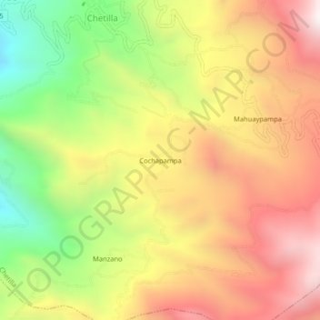
Name: Cochapampa topographic map, elevation, terrain.

Location: Cochapampa, Chetilla, Cajamarca, Perú (-7.18483 -78.68541 -7.14483 -78.64541)

Average elevation: 3,076 m

Minimum elevation: 2,336 m

Maximum elevation: 3,726 m

Gear up for your next adventure:

💡LED Headlamp - Hands-free illumination for night hiking and camping
💡LED Camping Lantern - Illuminate your campsite with long-lasting lanterns
🥾Waterproof Hiking Boots - Essential footwear for rugged terrain and wet Canadian trails
🥾Hiking Leggings - Comfortable leggings for outdoor activities
🧦Hiking Liner Socks - Thin base layer to prevent friction and blisters

As an Amazon Associate, this site earns from qualifying purchases at no extra cost to you.