
Zoelmond topographic map
Interactive map
Click on the map to display elevation.
About this map
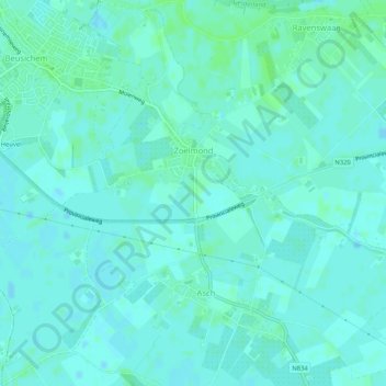
Name: Zoelmond topographic map, elevation, terrain.
Location: Zoelmond, Buren, Gelderland, Nederland (51.92264 5.27934 51.95474 5.31762)
Average elevation: 4 m
Minimum elevation: -1 m
Maximum elevation: 8 m
Other topographic maps
Click on a map to view its topography, its elevation and its terrain.