
Thank you for supporting this site ❤️
Make a donation
Make a donation
Gear up for your next adventure:
As an Amazon Associate, this site earns from qualifying purchases at no extra cost to you.
Akantaş topographic map
Click on the map to display elevation.
Thank you for supporting this site ❤️
Make a donation
Make a donation
Gear up for your next adventure:
As an Amazon Associate, this site earns from qualifying purchases at no extra cost to you.
About this map
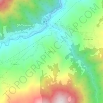
Name: Akantaş topographic map, elevation, terrain.
Location: Akantaş, Murgul, Artvin, Région de la mer Noire, Turquie (41.27857 41.60594 41.31857 41.64594)
Average elevation: 601 m
Minimum elevation: 193 m
Maximum elevation: 1,348 m
Thank you for supporting this site ❤️
Make a donation
Make a donation
Gear up for your next adventure:
As an Amazon Associate, this site earns from qualifying purchases at no extra cost to you.