
The Ridge topographic map
Interactive map
Click on the map to display elevation.
About this map
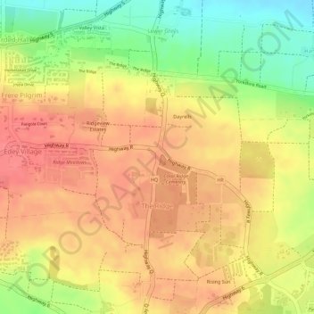
Name: The Ridge topographic map, elevation, terrain.
Location: The Ridge, Christ Church, Barbados (13.09092 -59.54368 13.10593 -59.52023)
Average elevation: 90 m
Minimum elevation: 44 m
Maximum elevation: 114 m
Other topographic maps
Click on a map to view its topography, its elevation and its terrain.