
Thank you for supporting this site ❤️
Make a donation
Make a donation
Gear up for your next adventure:
As an Amazon Associate, this site earns from qualifying purchases at no extra cost to you.
Niederrickenbach topographic map
Click on the map to display elevation.
Thank you for supporting this site ❤️
Make a donation
Make a donation
Gear up for your next adventure:
As an Amazon Associate, this site earns from qualifying purchases at no extra cost to you.
About this map
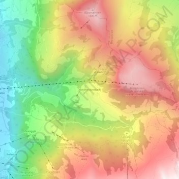
Name: Niederrickenbach topographic map, elevation, terrain.
Location: Niederrickenbach, Oberdorf (NW), Nidwalden, 6382, Switzerland (46.90772 8.40763 46.94772 8.44763)
Average elevation: 1,216 m
Minimum elevation: 495 m
Maximum elevation: 1,895 m
Thank you for supporting this site ❤️
Make a donation
Make a donation
Gear up for your next adventure:
As an Amazon Associate, this site earns from qualifying purchases at no extra cost to you.