Geolocate

Chilloroya topographic map

Click on the map to display elevation.

👉 Easily get elevation data in JSON, GeoTIFF and KML formats using Elevation API
Thank you for supporting this site ❤️
Make a donation

About this map

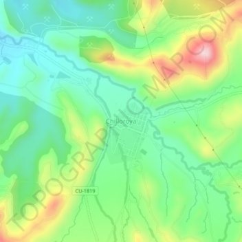
Name: Chilloroya topographic map, elevation, terrain.

Location: Chilloroya, Velille, Chumbivilcas, Cusco, Perú (-14.51517 -71.79755 -14.47517 -71.75755)

Average elevation: 4,083 m

Minimum elevation: 3,978 m

Maximum elevation: 4,282 m

Gear up for your next adventure:

🌬️Windproof Camp Stove - Efficient cooking even on exposed mountain peaks
💧Hydration Bladder - Hands-free hydration solution for long treks
🚲Heavy Duty Bike Lock - Secure your bike at the trailhead or during stops
🥾Hiking Shoes - Durable and comfortable shoes for trail hiking
🚑Survival Whistle - Signal for help across long distances in mountains

As an Amazon Associate, this site earns from qualifying purchases at no extra cost to you.